The IARU (aka Maidenhead) Grid System is used on-air by amateur radio operators to pinpoint their locations during contact exchanges. It’s also the basis from which contacts lines are drawn on the maps on this website. In the following images, we zoom in until a location can be identified at a neighbourhood level, but normally Maidenhead locators are given only to the 6 character level (3rd image).


Maidenhead Locator Grid “squares” are distorted when viewed on any non-equirectangular cartographic projection such as the Azimuthal Equidistant map projections used on this website.
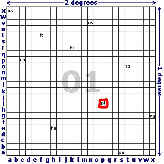
The world grid layout consists of 324 major squares of 10° latitude x 20° longitude (Figure 1). Within each of these are 100 secondary squares of 1° x 2° (Figure 2), and within each of these 576 tertiary squares of 2.5″ x 5″ (Figure 3).
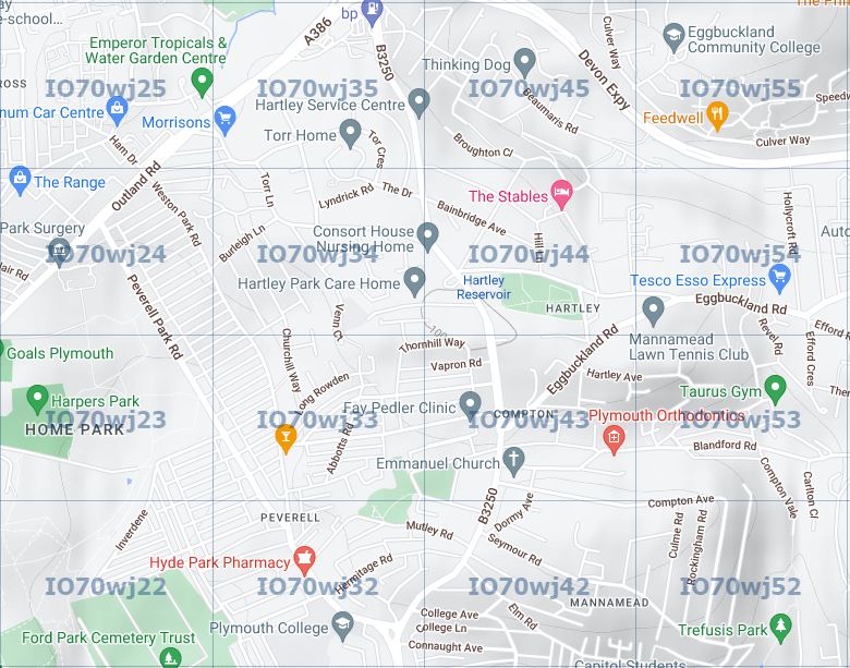
The locator square highlighted in Figure 6 would be read as AA01pi. A further sub-division (rarely used) of 100 squares is possible, bringing the location accuracy almost down to street level (Figure 4).